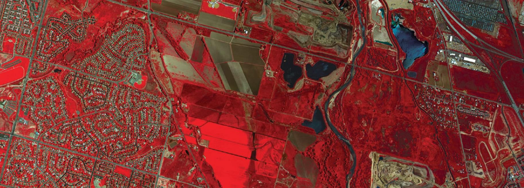
Remote sensing is the science of collecting information about the Earth from satellites, without the need for physical presence on the ground. It enables the observation and analysis of both densely populated urban areas and the most remote regions of the planet with accuracy, speed, and efficiency.
Using satellite imagery and advanced software tools, remote sensing helps monitor natural resources, environmental changes, and human activity across a wide range of sectors. It supports the creation of accurate spatial data and provides a cost-effective solution for analysing forests, agriculture, weather patterns, vegetation, pollution, land use, urban growth, archaeological sites, mining areas, and geological features.
At Geomatics (Cyprus), we provide reliable and cost-effective remote sensing services tailored to different industry needs. Our expertise covers the full processing chain, from raw satellite imagery to actionable geospatial insights, always delivered on time and with continuous project updates for our clients.
Our remote sensing services include:
- Satellite imagery interpretation and classification
- Supervised and unsupervised image classification
- Land use and land cover mapping
- Agricultural mapping
- Forest classification
- Water body mapping
- Change detection analysis
- Mining and geological planning
- Slope and aspect analysis
- Environmental impact assessment mapping
- Coastal ecosystem management
- Watershed management
- Image processing and enhancement
- Geo-rectification
- Digital Elevation Model (DEM) creation
With extensive experience and technical expertise, our team delivers high-quality remote sensing solutions that support better planning, monitoring, and decision-making across multiple sectors.