
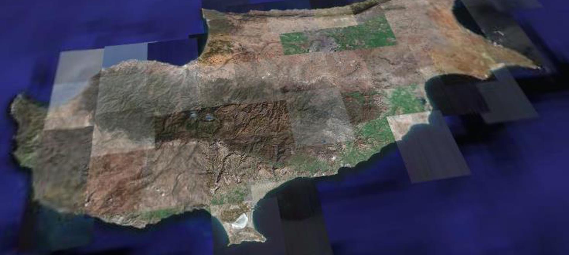
About Geomatics Cyprus
Geomatics (Cyprus) Ltd (GMCY) is a specialised geospatial technology company providing Geographic Information Systems (GIS), Remote Sensing, Earth Observation, Photogrammetry and geospatial consulting services in Cyprus.
We support public authorities, private organisations, research institutions and academia by delivering innovative geospatial solutions that transform geographic data into actionable insights for planning, monitoring and decision-making.
With expertise in Geodesy, GIS, satellite imagery analysis, UAV technologies and geospatial data processing, Geomatics Cyprus offers tailored solutions for environmental monitoring, agriculture, forestry, infrastructure management, coastal monitoring and urban planning.
Geospatial Software & Technology Solutions
Geomatics Cyprus provides access to professional Octave Geospatial Intelligence software solutions (formerly Hexagon Geospatial), including Octave Imagine (formerly ERDAS IMAGINE) and other geospatial technologies for satellite image processing, spatial analysis, mapping and data management.
Our expertise combines advanced geospatial software with Sentinel satellite data, UAV imagery, machine learning and Python-based workflows to deliver efficient and reliable geospatial applications.
Our Expertise & Services
We offer a comprehensive range of GIS, Remote Sensing and geospatial consulting services, including:
- GIS Development & Customisation: Development and integration of geographic information systems, web GIS platforms and customised geospatial applications.
- Remote Sensing & Earth Observation: Satellite imagery processing, classification, change detection and environmental monitoring.
- Photogrammetry & UAV Services: Aerial data acquisition, mapping, terrain analysis and geospatial data production.
- Geophysical Surveys: Ground penetrating radar (GPR) surveys and subsurface investigations.
- Spectroscopy & Vegetation Analysis: Spectral analysis for vegetation monitoring, biomass assessment and environmental applications.
- Geospatial Data Management: Processing, integration, visualisation and management of spatial datasets.
- Environmental & Coastal Monitoring: Mapping and analysis of coastlines, natural resources and environmental changes.
- Agricultural & Forestry Mapping: Satellite-based monitoring of agricultural land, vegetation and forest ecosystems.
- Cultural Heritage & Urban Planning: Geospatial mapping and analysis to support heritage documentation and sustainable development.
Our Clients & Collaborations
Geomatics Cyprus has collaborated with public authorities, universities and research organisations, including:
- Cyprus University of Technology
- Cyprus Agricultural Payments Organization
- Department of Lands and Surveys
- Frederick University
- University of Nicosia
Through these collaborations, we contribute to the development and application of geospatial technologies across public administration, research and industry.
Why Choose Geomatics Cyprus?
At Geomatics Cyprus, we combine scientific expertise, advanced geospatial technologies and practical industry experience to deliver solutions tailored to each client’s requirements.
Our approach focuses on data accuracy, technological innovation and reliable project delivery, helping organisations optimise operations, manage resources and make informed decisions.
Geomatics Cyprus : Transforming geospatial data into actionable intelligence.