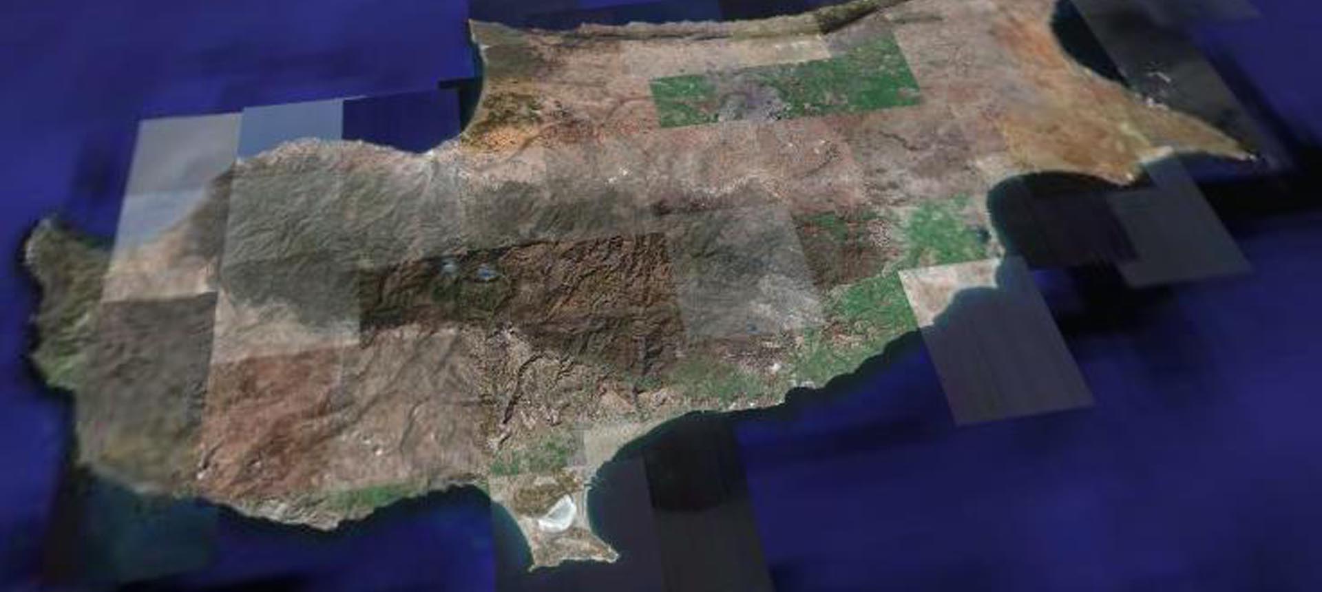
Geomatics (Cyprus) Ltd is a professional solutions and services company specializing in providing geospatial solutions and services within the realm of remote sensing technologies. Our focus is on the development and application of remote sensing, spectroscopy and satellite and UAV imaging. Geomatics (Cyprus) Ltd operates a full range of integrated and cutting-edge remote sensing technologies. Our expertise includes environmental monitoring, water quality, atmospheric, natural hazards, agriculture, surveillance, cultural heritage, urban planning as well as the social impact of environmental conditions. We have expertise in processing satellite data for large areas and performing and supporting optical in situ measurements for detailed monitoring, as well as examining human behavior and social impact. Our work includes all aspects of remote sensing, including the development of customized remote sensing systems and application software. Our mission is to develop innovative remote sensing techniques, hardware, digital processing and data management for research, government agencies, science communities and the private sector.
You can contact us at: info@geomaticscyprus.com

