
Remote Sensing & Satellite Imagery Analysis Services in Cyprus
Advanced Earth Observation Solutions for Environmental Monitoring & Geospatial Analysis
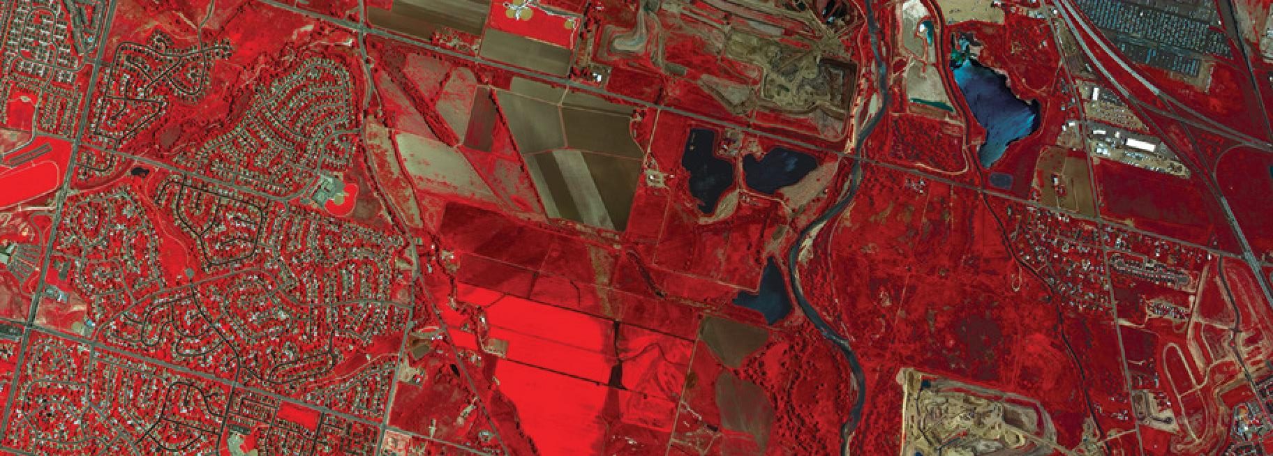
Remote Sensing is a powerful Earth Observation technology that enables the collection and analysis of information about the Earth’s surface without direct physical contact. Using satellite imagery, aerial photography and advanced geospatial technologies, remote sensing provides accurate, efficient and cost-effective solutions for monitoring both urban and remote areas.
From environmental monitoring and natural resource management to agriculture, forestry, urban planning and infrastructure development, satellite remote sensing supports the identification of land changes, assessment of environmental conditions and informed decision-making.
At Geomatics Cyprus, we provide professional Remote Sensing and Satellite Imagery Analysis Services, transforming raw Earth Observation data into reliable geospatial information and actionable insights.
Our expertise covers the complete remote sensing workflow, including satellite image processing, classification, geospatial analysis, mapping and change detection, delivering tailored solutions for public authorities, research institutions and private organisations.
Our Remote Sensing Services
We offer a comprehensive range of satellite image processing, Earth Observation and geospatial analysis services, including:
- Satellite Imagery Interpretation & Classification: Extracting meaningful geographic and environmental information from satellite images.
- Supervised & Unsupervised Image Classification: Applying advanced classification techniques to identify and categorise land surface features.
- Land Use & Land Cover Mapping: Mapping urban areas, agricultural land, forests, water bodies and other land cover categories.
- Agricultural Mapping: Monitoring agricultural land, crop distribution and vegetation conditions to support precision agriculture.
- Forest Classification: Mapping forest types, vegetation cover and changes in forest ecosystems.
- Water Body Mapping: Identifying and monitoring lakes, rivers, reservoirs and other surface water resources.
- Change Detection Analysis: Tracking changes in land cover, vegetation, urban development and environmental conditions over time.
- Mining & Geological Mapping: Analysing geological features, terrain characteristics and mining areas to support resource management and planning.
- Slope & Aspect Analysis: Assessing terrain characteristics for land development, environmental studies and infrastructure planning.
- Environmental Impact Assessment Mapping: Providing spatial information to support environmental assessments and sustainable development.
- Coastal Ecosystem Management: Monitoring coastal environments, shoreline changes and sensitive ecosystems.
- Watershed Management: Analysing drainage networks, catchment areas and water-related geographic features.
- Satellite Image Processing & Enhancement: Improving imagery quality and preparing satellite data for accurate analysis.
- Georectification: Correcting geometric distortions and aligning satellite imagery with geographic coordinate systems.
- Digital Elevation Model (DEM) Creation: Generating elevation datasets for terrain analysis, hydrological modelling and 3D mapping.
Why Choose Geomatics Cyprus for Remote Sensing?
With extensive experience in Remote Sensing, GIS and Earth Observation technologies, Geomatics Cyprus delivers customised geospatial solutions designed to meet the technical and operational requirements of each project.
We combine advanced satellite imagery processing techniques with geospatial expertise to provide accurate, reliable and cost-effective mapping and monitoring services.
Our team supports clients throughout the project lifecycle, from data acquisition and processing to analysis, visualisation and delivery, ensuring clear communication and timely project updates.
Turn satellite imagery into actionable geospatial intelligence with Geomatics Cyprus.