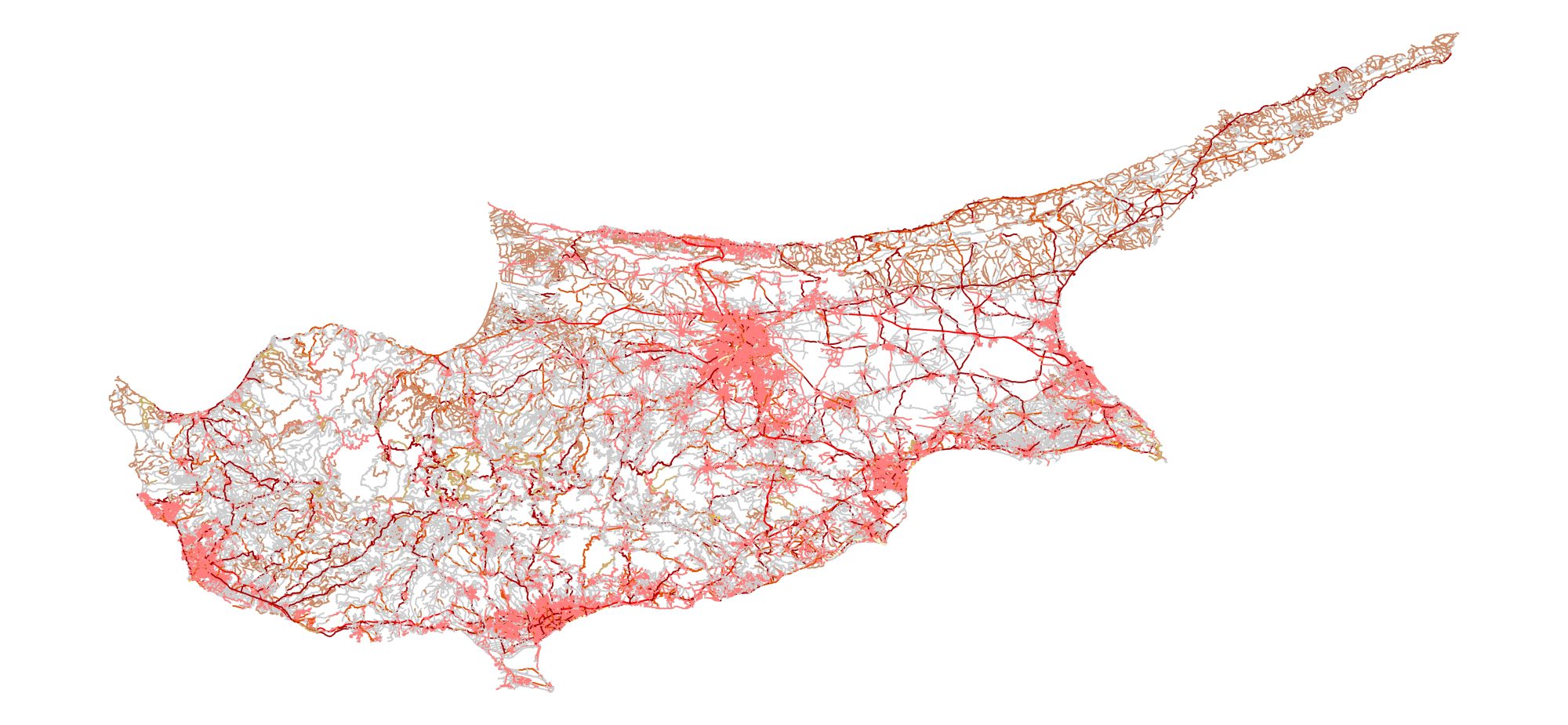
GIS data such as geological data, data from maps, topographical information, and information derived from satellite images and other aerial platforms, constitute the crucial elements of Geospatial data. The dependability of Geospatial data centers in the accuracy of the GIS data made available.
Backed by several years of proven experience in the domain, Geomatics Cyprus offers a range of GIS services that finds its place in application of GIS and Remote sensing services in agriculture, market research, city planning, transport, power, water supplies, sewage, forestry, mining and hazard mitigation to name a few.
Our GIS services include the following:
- Geo-referencing
- Parcel Mapping
- Utility Mapping
- 2D Feature Extraction
- Route Network Analysis
- Map Digitization
- Geological Investigations
- Satellite Imagery Interpretation
- Land use and Land cover mapping
- Forestry mapping services
- Thematic mapping
Our expertise in Remote Sensing branches out to meet classification, image correction, image enhancement, image processing, and change detection services. Our well-knit solutions for GIS and Remote Sensing services provides data accuracy and performance throughout the project life cycle. Our task is to understand our customer’s needs and processes and implement innovative technologies smoothly. To achieve that, we offer extensive services to help our customers analyze their business processes and integrate our products and services in the most productive way.

